
Aman-Kutan
A Stone Age cave in a wooded mountain valley
This site is in test mode — some information may contain errors.
Report
Mountain air and waterfalls on the city's doorstep
A mountain valley 15–20 km southwest of Samarkand with sanatoriums, spring poppy fields, the Devsharshara waterfall and the new Agalyk–Akbuyra–Mirankul tourist and recreation zone.
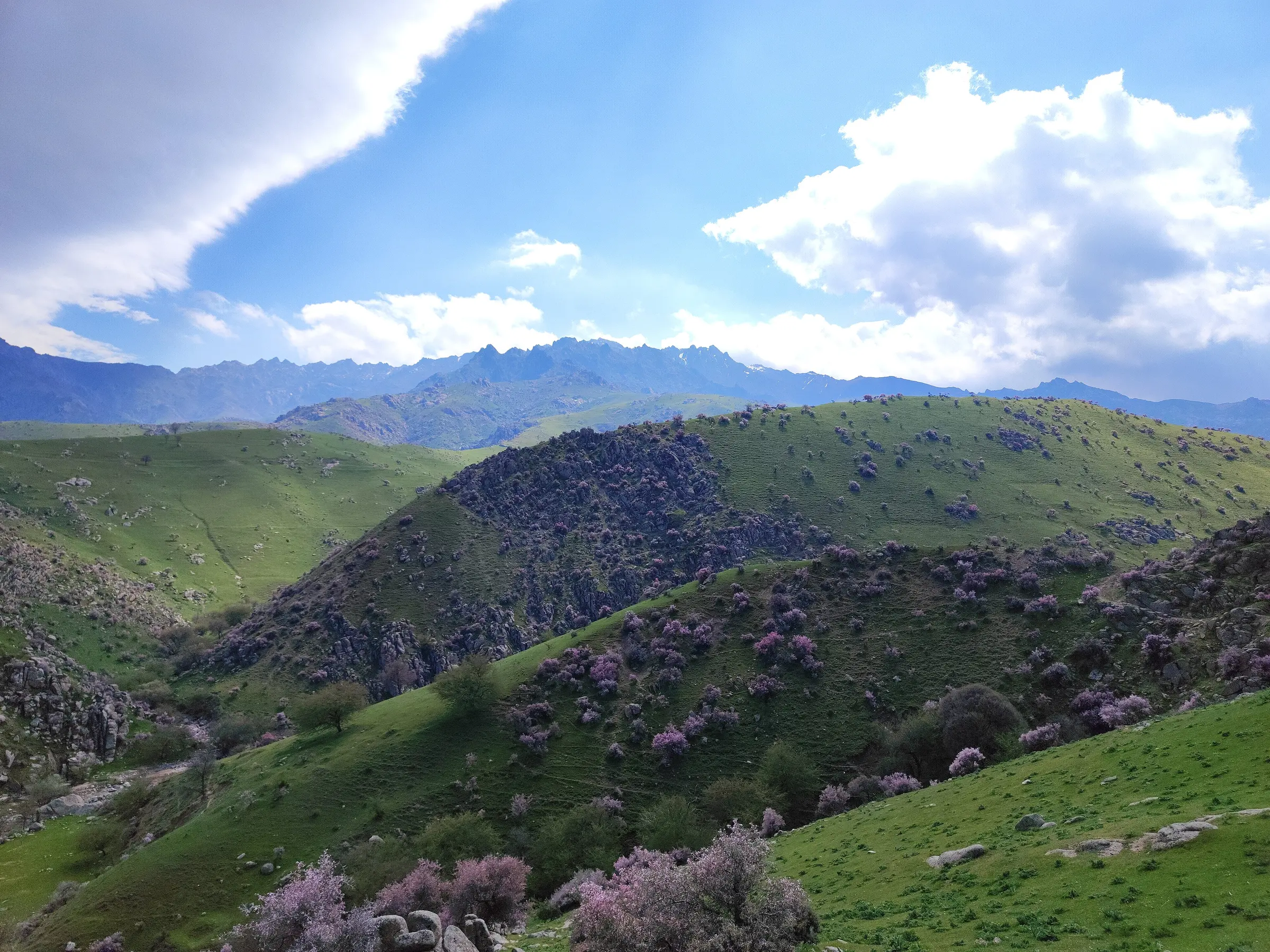
The Agalyk (Ohalik) mountains are a western spur of the Zarafshan Range, rising in the Agalyksay valley about 15 km southwest of Samarkand. The hills average 700–900 metres, and the villages of Lower, Middle and Upper Agalyk sit above 800 metres. The massif's highest point is Mount Kemkutan, at roughly 2,200 metres.
The dry, clean mountain air is good for respiratory complaints, which is why a children's tuberculosis sanatorium and the Agalyk sanatorium operate here. Summers are hot and winters cool, with around 300–320 mm of rain a year, mostly in spring and autumn. In 1933 the geologist V. A. Zilberminets discovered a uranium-vanadium deposit here.

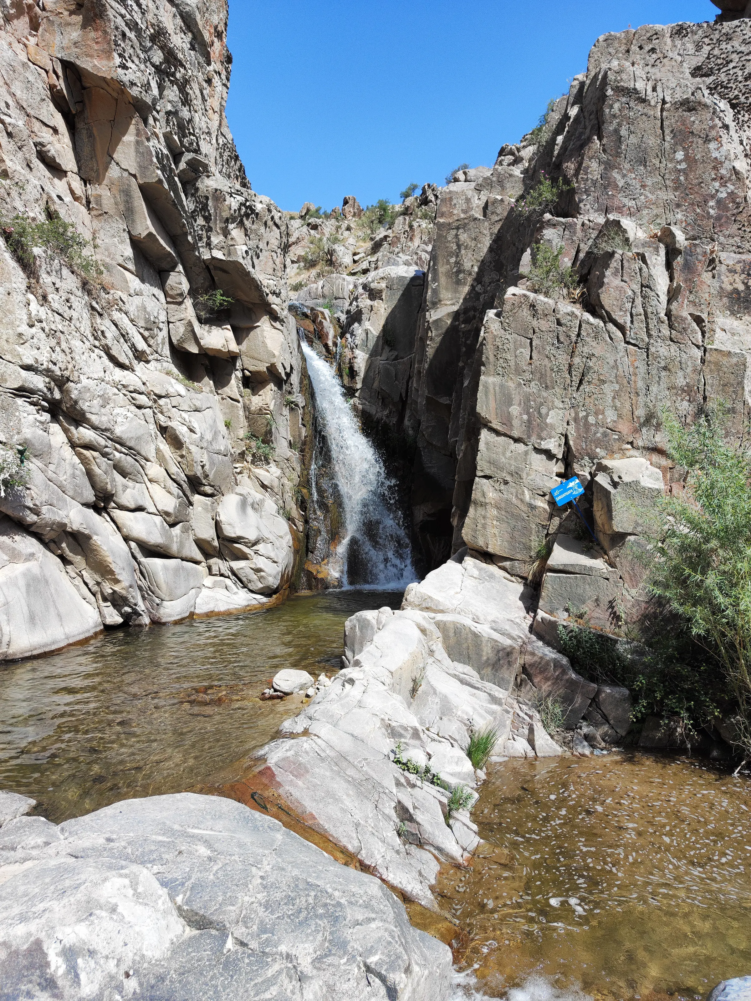
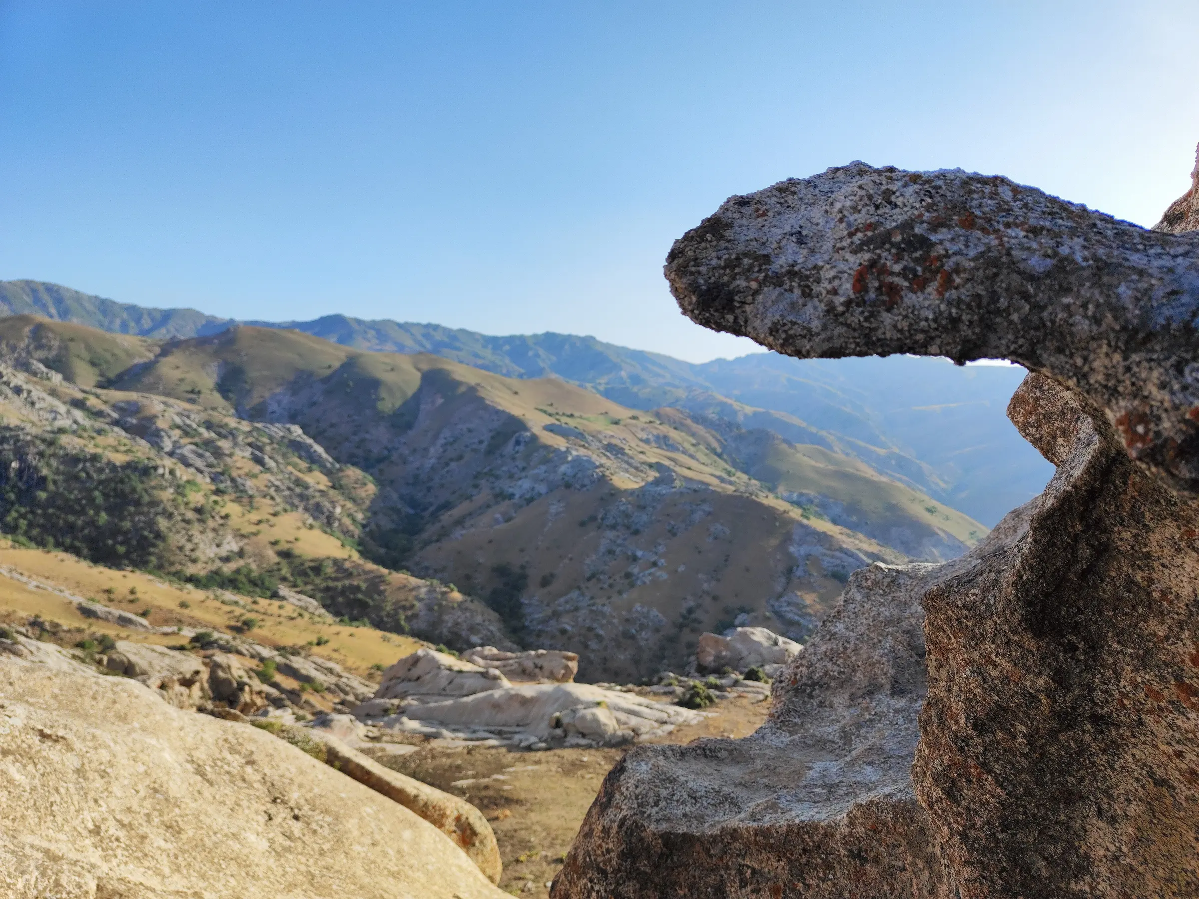
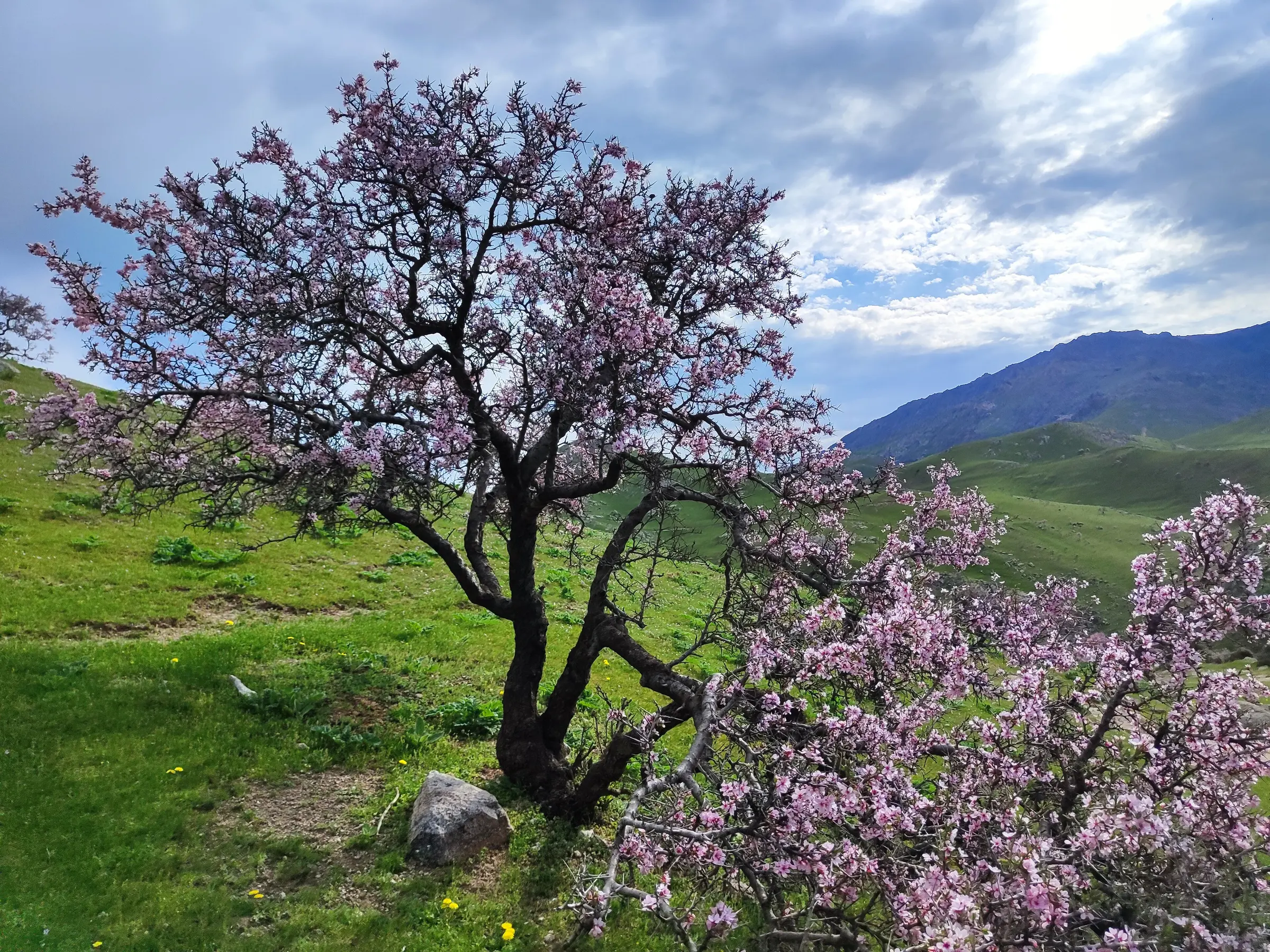
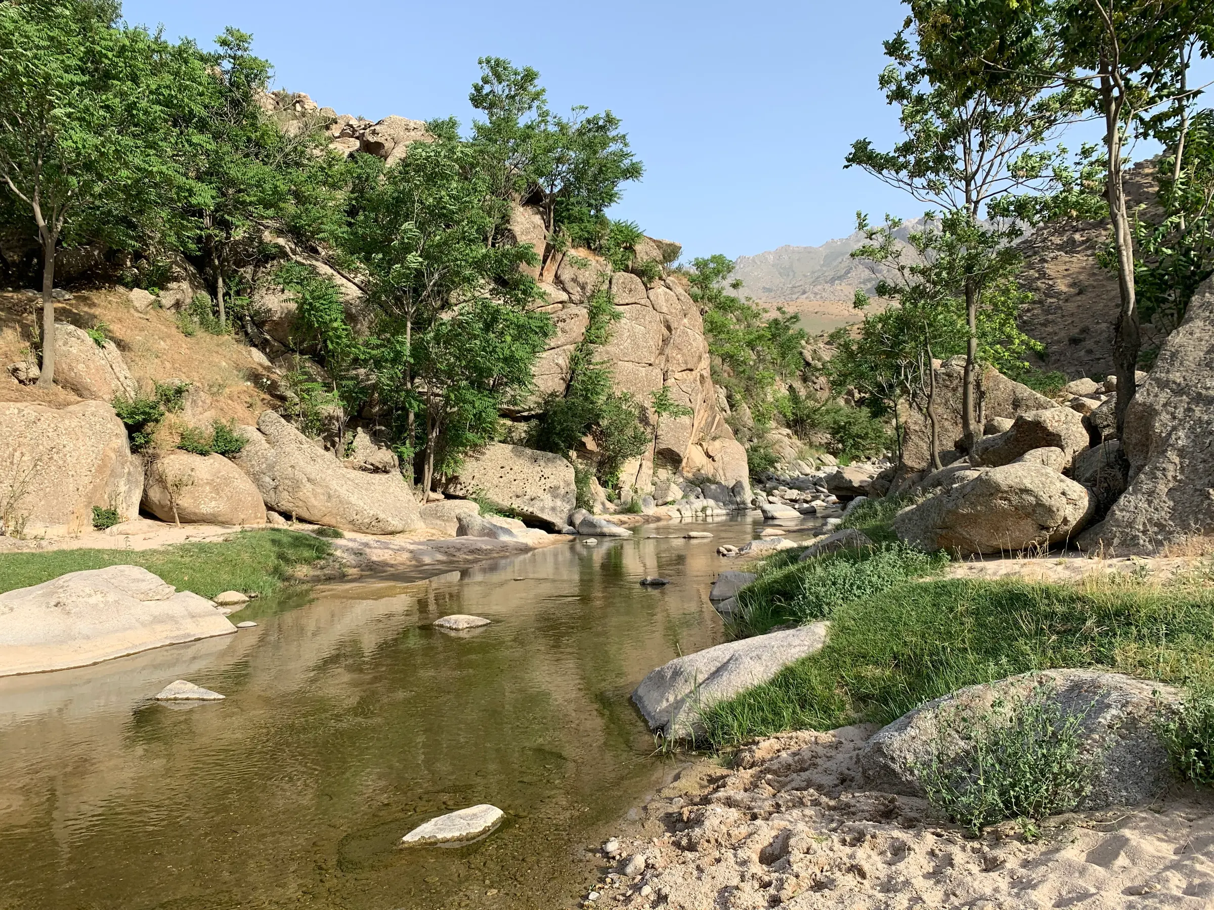
The valley's charms are oddly shaped crags, countless streams and side brooks, poppy fields that turn the slopes scarlet in spring and the Devsharshara waterfall, up to 8 metres high. Wild apple, rosehip, barberry, almond, walnut and medicinal herbs grow on the slopes, and hawks, falcons and kites circle overhead. The Agalyksay burial mounds date from the centuries either side of the start of the Common Era.
In 2024 a presidential decision created the Agalyk–Akbuyra–Mirankul tourist and recreation zone in Samarkand District, placing the Agalyk (1,697 ha), Akbuyra (414 ha) and Mirankul (2,545 ha) areas under a single directorate. Akbuyra lies southeast of Agalyk and Mirankul to the west, beneath the hills of the same name, and both have their own rest houses. Plans include modular and capsule cabins, campsites, picnic areas, ziplines, paragliding and cycle paths, and a further 14.3 billion som for infrastructure was allocated in late 2025, including a 42.8-hectare extreme-sports site in the Yangiariq area. A bus runs to the valley from the city.

Gallery
Related places
A Stone Age cave in a wooded mountain valley

A mountain cave at the top of 1,303 steps
Nearby


Stay & eat
Resort · 1.9 km
Hostel · 13 km
Hotel · ★★★ · 14 km
Hotel · 14 km
Restaurant · 1.6 km
Restaurant · 7.7 km
Plov centre · 13 km
Teahouse · 13 km


For example: Registan, Ulugh Beg, plov, Urgut