
Zarafshan National Nature Park
The last riverside forests of the Zarafshan
This site is in test mode — some information may contain errors.
Report
Known locally as the “Uzbek Sea”
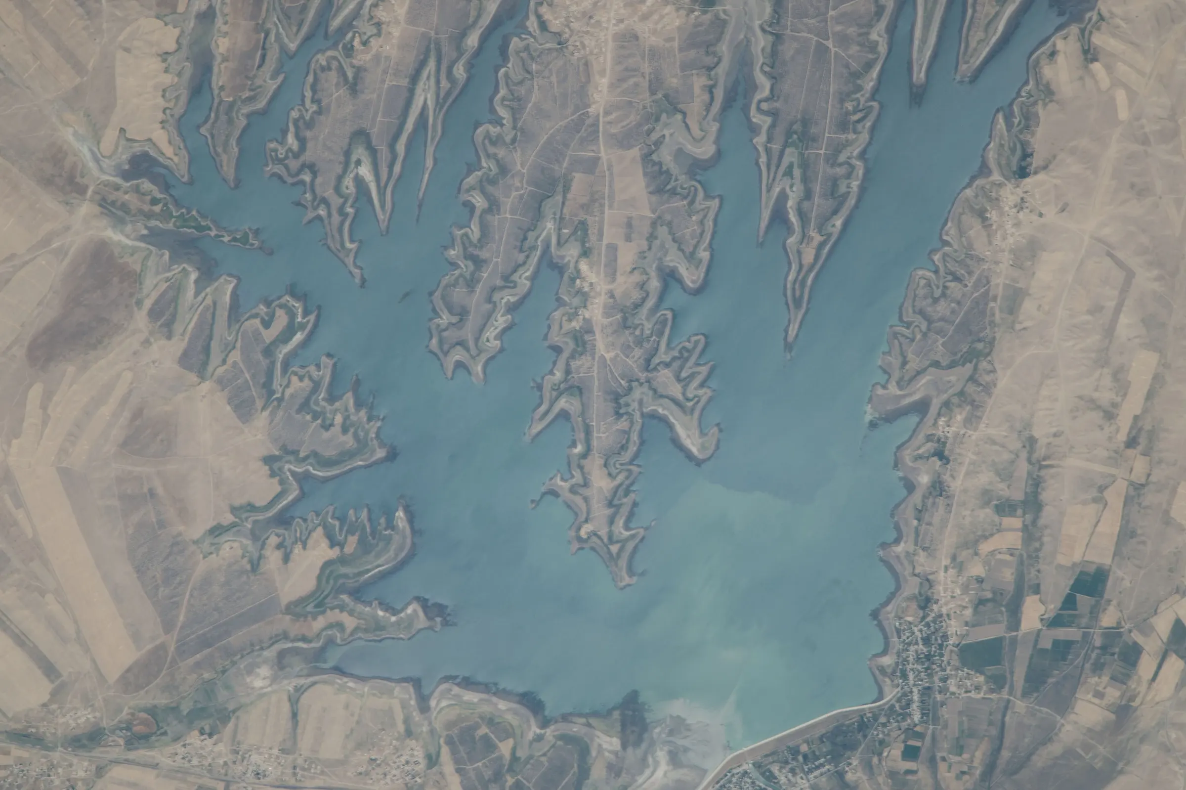
The first reservoir built in Uzbekistan (1940–1951), with 79.5 km² of water and a capacity of 900 million m³ — big enough to earn the nickname “Uzbek Sea”.
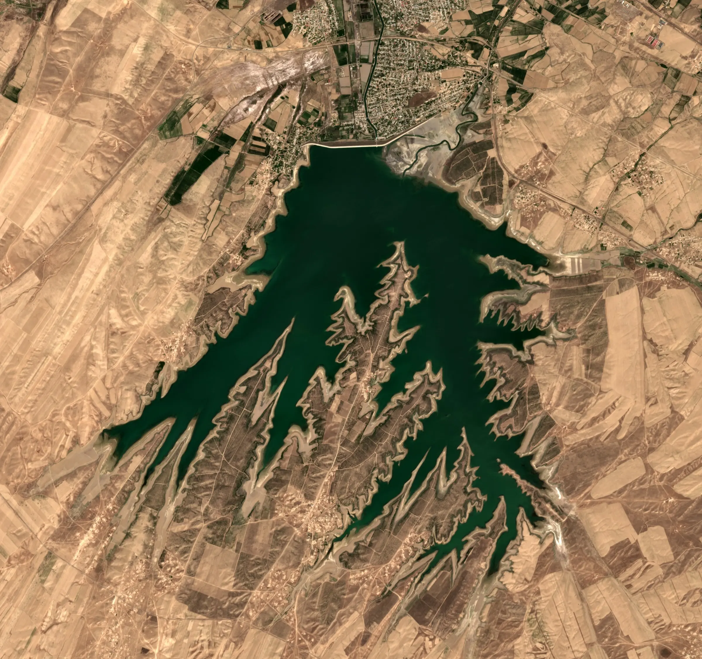
The reservoir was created between 1940 and 1951 in a natural basin on the left bank of the Zarafshan, south of Kattakurgan. An earth dam about 4 km long and 28 metres high went up in 1941 and was later raised to 31.5 metres. The basin reached its design volume of 662 million m³ in 1954, and a 1968 reconstruction lifted capacity to 900 million m³.
The water covers 79.5 km², stretching 15 km in length and up to 10 km across, with a maximum depth of 25 metres; the shoreline is deeply indented with narrow peninsulas. Fed from the Karadarya by a 21-km canal, it irrigates 94,000 hectares in the Samarkand and Bukhara regions and supports a fishery. A government decree of late 2025 plans an eco-tourism cluster on the shore and a year-round resort on its southern side.

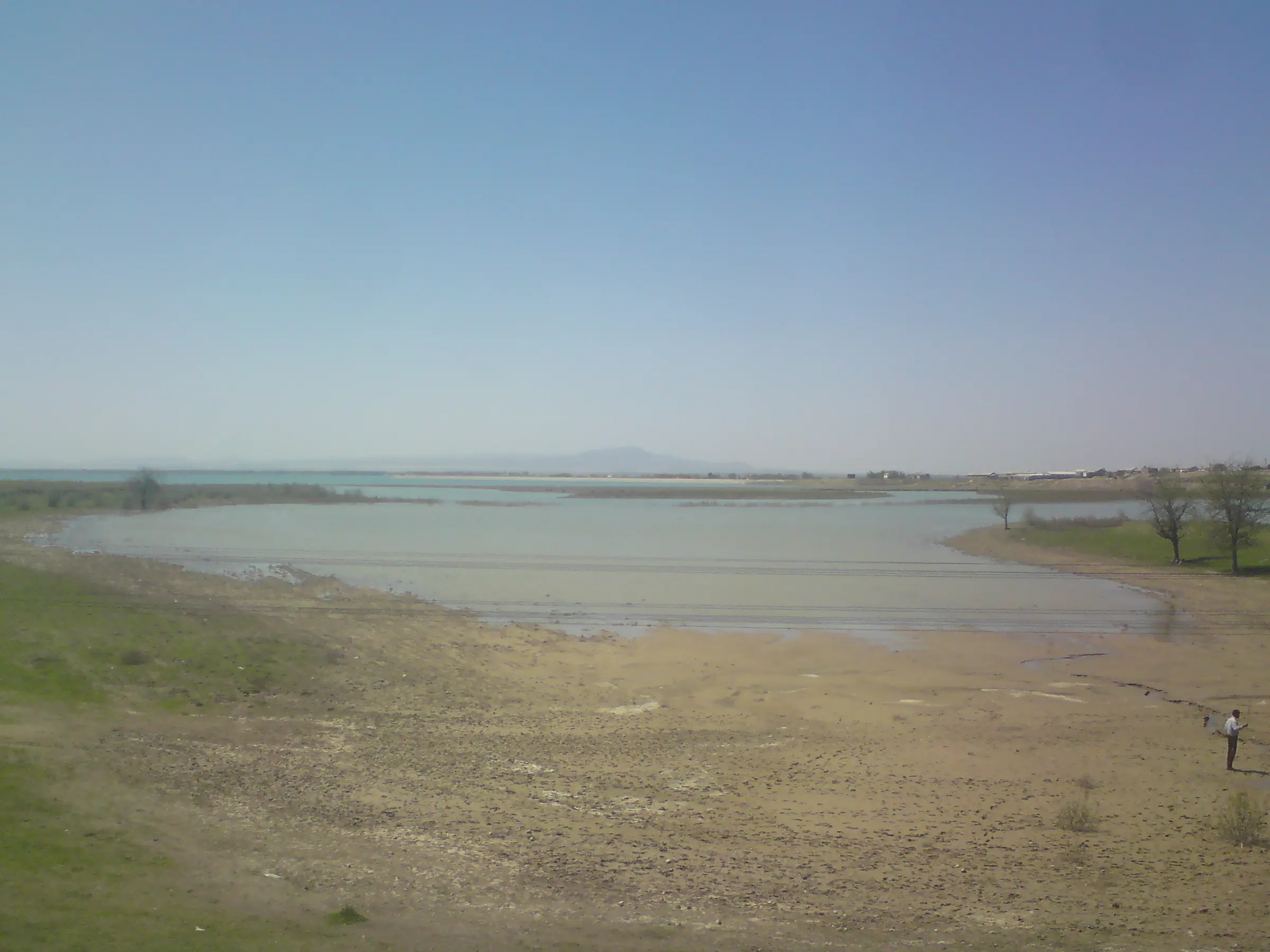
Water leaves the reservoir by a 15-km outlet canal back to the Karadarya. The boundary between Kattakurgan and Nurobod districts follows its western, southern and southeastern shores. In summer the banks draw anglers and picnicking families, though equipped beaches are still few. Government plans include a 45-hectare resort on the southern shore, in the Saroykurgan forestry area, and an 11-km promenade along the outlet canal in Kattakurgan town.
Gallery
Related places
The last riverside forests of the Zarafshan
Nearby

Stay & eat


For example: Registan, Ulugh Beg, plov, Urgut