
Afrasiyab
The ruins of pre-Mongol Samarkand
This site is in test mode — some information may contain errors.
Report
A Timurid dome on the city's highest point
A legend-wrapped ridge rising above Samarkand, crowned by a 15th-century mausoleum. The whole city is spread out below, and Ulugh Beg's observatory lies at its foot.
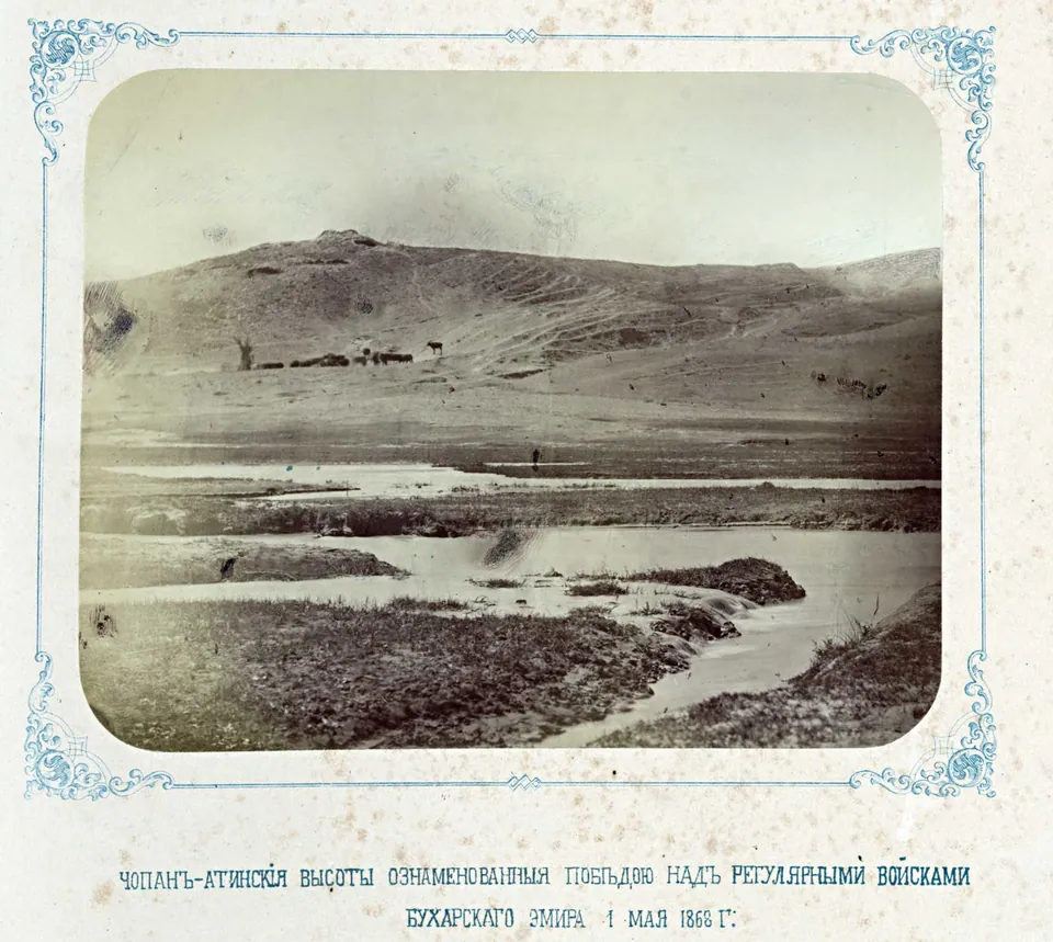
Chupan-Ata is a ridge on Samarkand's north-eastern edge, near the Zarafshan River: 826 metres above sea level, about 800 hectares in area and roughly 100 metres higher than the city. In the Middle Ages it was called Kuhak. Legend has it that when an enemy army approached, the townspeople prayed for deliverance, and overnight a gigantic rock fell from the sky and buried the invaders. Next morning they found a shepherd asleep on top of the new mountain; they named him Chupan-Ata, 'Father Shepherd', and honoured him as the city's saviour and patron of herdsmen.

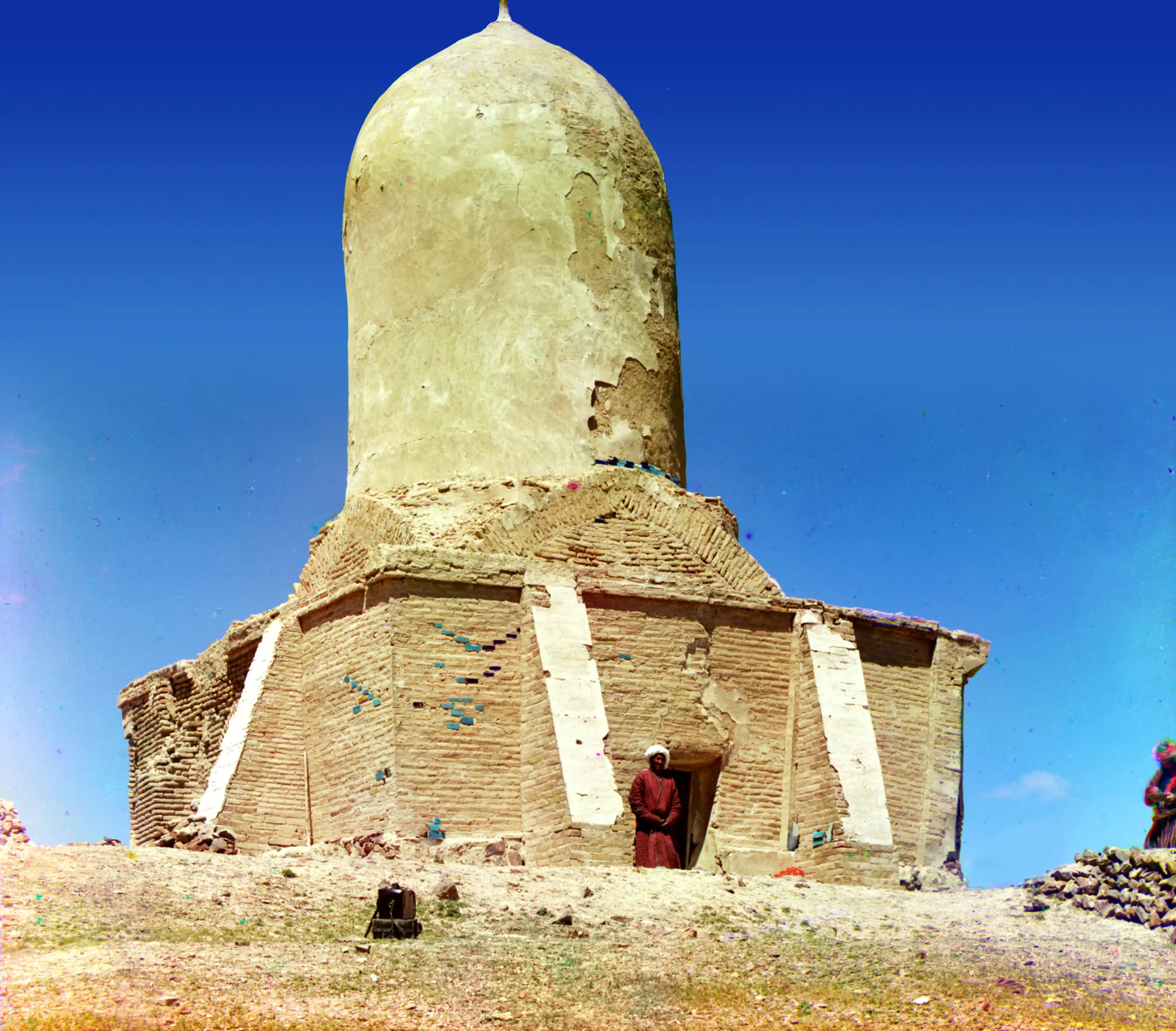
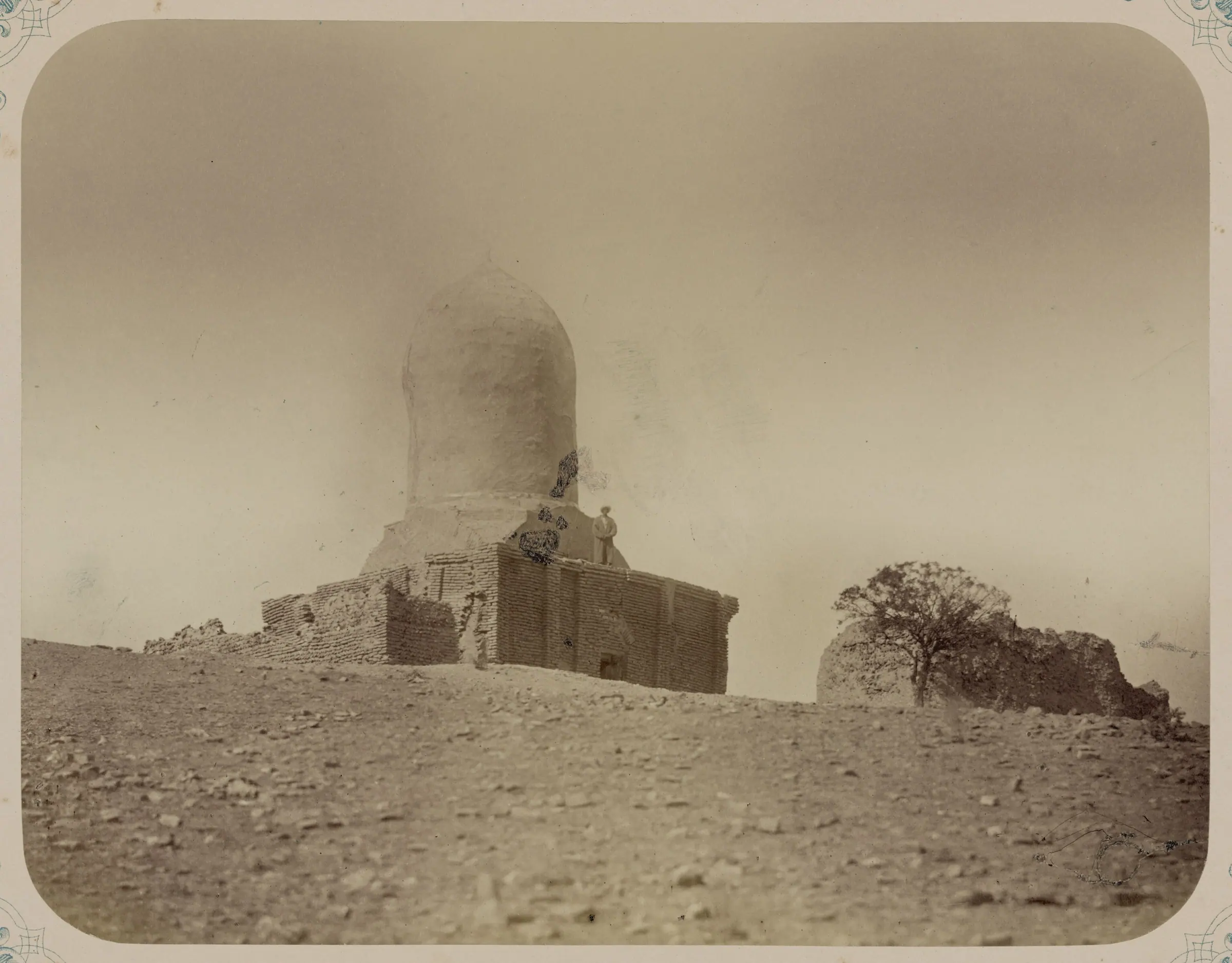
The domed building on the summit dates from the 1430s–1440s, the reign of Ulugh Beg. No trace of an early burial has been found in it, so some scholars think it served as a watch post or beacon. A double dome on a tall drum rises over a cross-shaped hall; restoration begun in 2011 renewed the inscription on the drum and covered the dome in turquoise tiles. On 1 (13) May 1868, on the slopes of Chupan-Ata, General Kaufman's troops defeated the Emir of Bukhara's army – and Samarkand passed to the Russian Empire.
Gallery
Related places
The ruins of pre-Mongol Samarkand
Nearby


The fig-garden quarter — Uzbekistan's first tourism mahalla
3.4 km


For example: Registan, Ulugh Beg, plov, Urgut